In early Autumn we visited parts of Auckland, this was one place I've been wanting to see for quite some time. I grew up in the suburbs of Auckland and when I was little my Nana and Grandad lived in Mount Eden which is very nearby. They use to take my up this mountain sometimes so it is quite special to me.
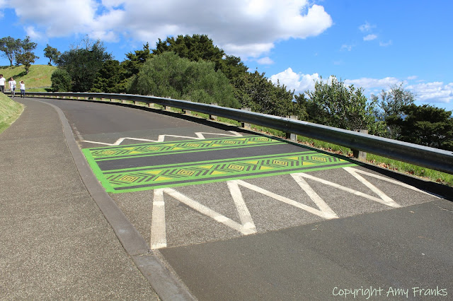
Cars are not allowed to drive up to the top, you have to park at the bottom and walk up, this hasn't always been the case so I think it's probably because of the amount of walkers and cyclists.
Mt Eden (Maungawhau) is one of the most prominent volcanic cones remaining in the Auckland region. Erupting about 15,000 years ago from three overlapping scoria cones, it formed a huge scoria mound with a central crater from the last eruption. Lava flowed out from the base of the mound, and in some places the lava is more than 60 metres thick.
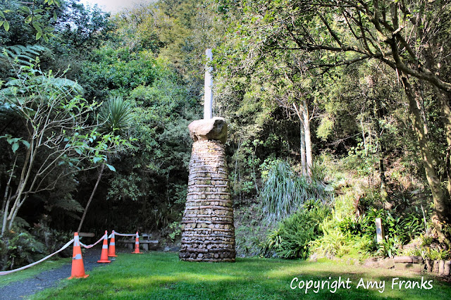
Maungawhau was a significant fortified pā, large enough to provide refuge for several hundred people. Extensive earthworks modified the steep upper slopes of the cone. This particular monument at the top was erected in 1933 as a memorial to the pioneers who played a part in the transformation of the land which was once a wilderness.
From the lookout at the top there are views all over Auckland including Devonport, Parnell, Newmarket, the North Shore and Rangitoto Island. This is one of Auckland region's fourteen Tūpuna Maunga (ancestral mountains). At 196m tall, Maungawhau or Mount Eden is the highest volcano in Auckland.
You can see the Auckland Harbour Bridge, Auckland City and the Sky Tower in this photo - the land in the distance is the North Shore where I lived. Mount Eden got it's name from George Eden who was the first Earl of Auckland.
Linking up with Skywatch Friday.

