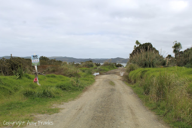
Yesterday we drove past Rawene to visit Northland's boulders. Koutu Boulders are located in the Hokianga region and are only accessible on low tide. Along with the obligatory "no camping" sign the road to the beach looked very dodgy with potholes so we parked further back and walked.
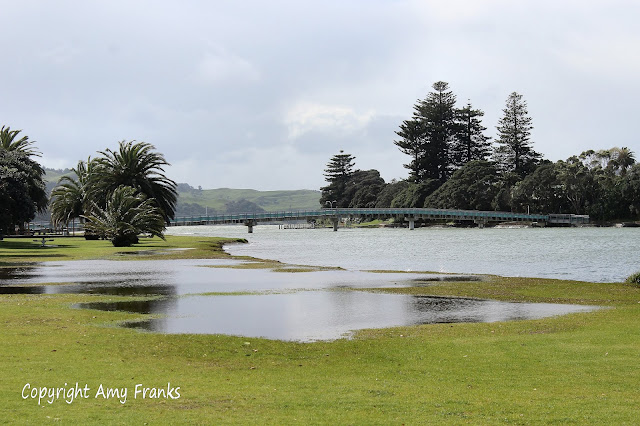
This part of the beach was an estuary with many mangroves and mudflats, you can see how far the water comes up from the puddles leftover.
From the beginning of the beach were smaller boulders leading to bigger ones. Some of them looked like they had been cut in perfect shapes and formations, some of them looked to be sedimentary rocks and others looked volcanic.
B is standing next to one of them so you could see the rough average size of the boulders, the Hokianga harbour is in the background.
Further along the beach was this old abandoned caravan that looked like it was falling apart. This area has a few holiday houses scattered here and there, I imagine it would still be very quiet over Summer.
An island in the distance that you would be able to get to if you had a boat, we were wondering if it was used many years ago by Maori possibly to bury their dead (we've heard that some tiny islands like this are sacred places).
After walking along the beach for about half an hour we reached the point where the tide was still a bit high for us to climb over these rocks, to the right up on the land there was a pathway that had sadly fallen down and was hard to climb up. B managed to get himself up on it and when he came back shortly after he said there were more rocks around the corner, one was at least 10 ft high.